Completed Projects
Project for Installing Solar Systems in Health Centers
The health sector is one of the vital sectors providing medical services to citizens and foreigners. However, this sector has been affected by power outages and voltage instability, leading to a significant deterioration in the quality of health services, such as the spoilage of medicines and medical supplies due to interrupted cooling cycles. By installing solar energy systems, it became possible to provide reliable electricity to health facilities, which greatly improved health services.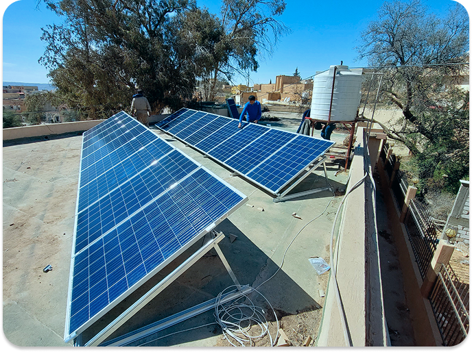
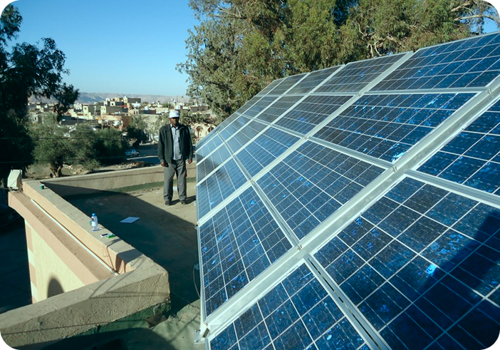
- Provide regular electricity to health facilities.
- Improve the quality and efficiency of health services.
- Promote awareness of renewable energy, especially solar energy.
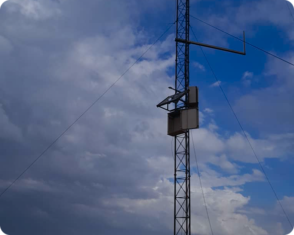
Solar Radiation Measurement Stations Project
Three stations for measuring direct solar radiation (DNI) were installed at strategic locations in Libya (Ghadames, Bir Al-Ghanam, Sabha). These stations are dedicated to measuring the amount of direct solar radiation reaching the earth's surface, which is essential for identifying optimal sites for solar power plant projects, estimating expected productivity, and studying climate changes and their impact on solar radiation.
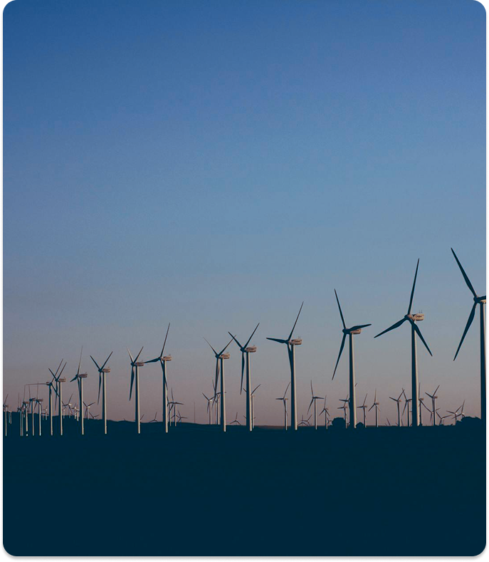
Wind Data and Information Measurement Stations Projects
The results of the Wind Atlas in Libya, along with available data, have shown that Libya has great potential for wind and solar energy due to its location within the solar belt region, which provides the highest solar radiation rates in the world. To promote the use of renewable energies, stations were established to measure wind and solar radiation data, including the supply and installation of climate data measurement stations to measure variables such as wind speed, wind direction, solar radiation, and temperature.
A total of 26 measurement stations were installed across 4 regions throughout Libya, including the eastern, western, and southern regions.
Wind Data and Information Measurement Stations Projects by Region:
Coastal Region
The project was implemented in 2002 at 5 sites (Derna, Tolmeitha, Al-Maqrun, Misrata, Sirte) with 40-meter measurement towers installed in cooperation with Cube Green Energy (Germany).
Western Region
The project was implemented in 2006 at 5 sites (Tarhuna, Msallata, Gharyan, Al-Asabaa, Al-Heera) with 40-meter measurement towers installed in cooperation with Ambio (Spain).
Southwestern Region
In 2010, 60-meter measurement towers were installed at 8 sites (Sabha, Ubari, Al-Jufra, Ghat, Traghen, Al-Qatroun, Abu Njeim, Al-Shuwayrif) in cooperation with GEO-NET (Germany).
Eastern Region
The project was implemented in 2010 at 8 sites (Kufra, Abu Ziq, Tazirbu, Sarir, Ajdabiya, Marawah, Al-Jaghbub, Al-Wahat) with 61-meter measurement towers installed in cooperation with Terna Energy (Greece).